Impacts of climate change in Cape York’s Wenlock River
Planning for an uncertain climate future
By Lyndal Scobell
Climate change is already impacting and amplifying existing pressures put on nature. The species and places we love, depend on intricate functioning of ecosystems. The smallest changes to the climate can disrupt the delicate balance of nature. This article highlights the impacts of climate change in the Wenlock River of Cape York, far north Queensland.
By better understanding the impacts of climate change on the environment and communities, we can prepare and adapt for the future. Various groups, including The Nature Conservancy, are supporting the Wenlock River catchment community to do just that.
Where nature still rules
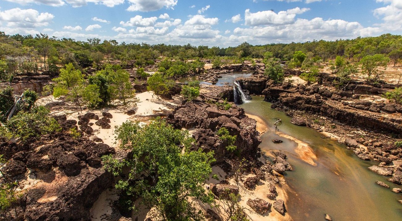
The Wenlock River in remote Cape York is a very special place. Aboriginal people have a long and continuous connection to the river spanning tens of thousands of years. The river is respected and revered today by all who become connected to the vibrant cultural and ecological system.
This important perennial river rises in Northern Kaanju Country from headwaters located in the Great Dividing Range in eastern Cape York. It moves west through Atambaya, Yinwum, Luthig, Thaynhakwith and Taeppathiggi Country then Tjungundji Country—emptying into Port Musgrave, near Mapoon, in north-western Cape York.
In its entirety, it travels over 320 km through a catchment of more than 7,500 square kilometres.
It truly is a magnificent system, where nature still rules.
Quote: Di Nicholls
Tjungundji people are deeply connected with the Wenlock River. The Wenlock flows into Port Musgrave which is home to turtle, dugong, sawfish, crocodile, fish, birds—many animals. We need the river to stay healthy.
Get the Latest Updates on our Work
Sign up for email updates to find out how we're helping to conserve Australia's landscapes
Sign UpA place of cultural and ecological significance
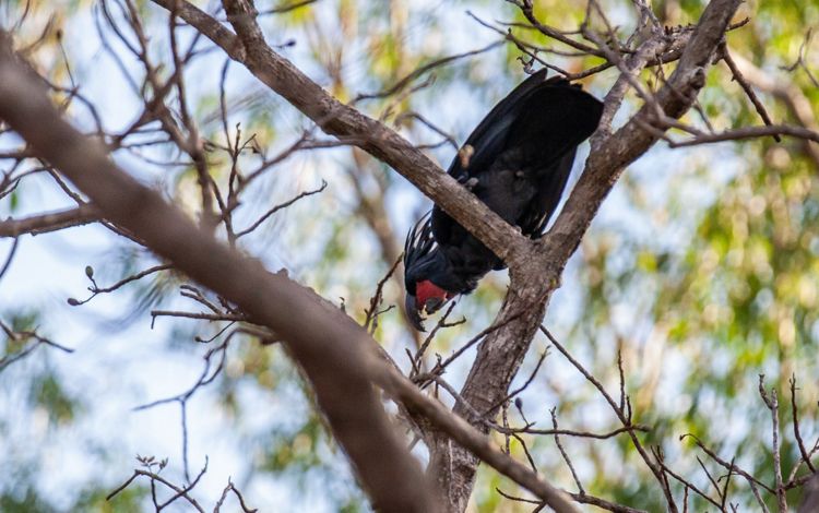
A vast range of species can be found within the river and its catchment. Palm Cockatoos are heard drumming on hollow tree trunks, the Common Spotted Cuscus glows against the canopy green, Antilopine Wallaroos bound through eucalypt woodlands, while Dingoes watch carefully with lowered heads.
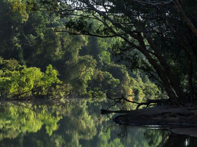
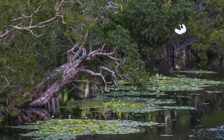
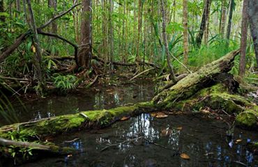
The landscapes of the river include rainforests, intact grasslands, sandstone and bauxite springs, eucalypt forests, littoral rainforest, sandstone ridges and melaleuca wetlands. There are also extensive mangrove forests which support a range of aquatic ecosystems.
The river has amongst the highest diversity of freshwater fish species in Australia. It’s an important corridor connecting the western Cape with the east—critical for movement of the fish, birds, reptiles and mammals.
Estuarine Crocodiles are the river royalty, respected by all. The Wenlock and its tributaries provide important breeding grounds for these incredible prehistoric animals. The river is also home to the critically endangered Speartooth Sharks and endangered Largetooth Sawfish, Australian Snub-finned Dolphin and Dugong.
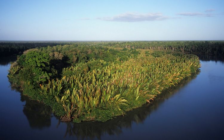
The rainforests of the freshwater springs hide rare pitcher plants, and the springs are the source that feeds the river. Nypa palms, which are found only in a few places in Australia, encase entire islands within the river, making them appear to float. The Wenlock has the greatest density of these palms of anywhere in Australia.
View the gallery:
Where Lore is stronger than law
The catchment is a well-stocked health shop of traditional bush foods, and home to significant cultural and sacred sites. But the dark history of colonisation brought horrific massacres, the removal of children and of entire communities. Between 1960-1964, government policies saw all Aboriginal people from Old Mapoon at the mouth of the river, relocated to the tip of Cape York. Some homes were burnt to the ground by authorities to discourage people from returning.
Still, traditional connections are stronger than government policies. Within 10 years, many Traditional Owners made their way back home.
The catchment community
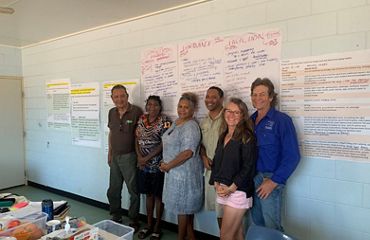
In 2012, Traditional Owners, Rangers, natural resource managers, conservationists, pastoralists and tourism operators from across the catchment came together to work out how best to care for the river. They all understand its cultural and natural significance.
The Wenlock Catchment Management Group (WCMG) was formed with the aim to be a collective ‘Voice for the River’. Maintaining momentum and staying engaged with landholders is a challenge for catchment groups in any location, but for WCMG it is particularly hard. Dirt roads, wet seasons, multiple tenures, and the piled-up workloads and demands on those who care for the land and water are some of the challenges for this group.
Quote: Sally Gray
The catchment group gives us a coordinated way to find out what’s going on with the river outside of ‘our patch’
Since incorporation, the group have written submissions for government policies, supported land and sea ranger water quality projects. They have engaged with Rio Tinto (who have mining leases throughout the lower catchment), and with other key stakeholders including local governments, Cape York Natural Resource Management and Cape York Land Council. They developed a strategic plan in 2015. In 2019 WCMG sought support from The Nature Conservancy to start the Healthy Country Planning to update the strategic plan.
Quote: Barry Lyon
Natural, uninterrupted connectivity between ecosystems remains, which is critical in allowing wildlife to move about as needed.
Climate change in the Wenlock catchment
The Nature Conservancy supported the first Healthy Country Planning workshop that identified significant threats to the health of the catchment. They included wildfire, introduced species (weeds, cats, large feral herbivores), mining, illegal and unmanaged access and climate change.
Climate change was considered one of the most concerning threats. People in the catchment had witnessed changes, noting increased temperatures, later wet seasons and longer dry periods— making management of existing problems much harder. For example, every year wildfires burnt thousands upon thousands of hectares across Cape York. It was clear that fire management is key for all land managers annual works programs.
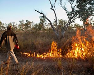
Returning to traditional fire management practices has reduced the impacts of wildfire destruction in recent years. But people are worried about how the impacts of climate change will affect fire behaviour in the future.
Cath Moran ecological helped assess climate change implications for the catchment. But the outlook isn’t great.
Under current global climate patterns, significant changes in climate could be expected across the Wenlock catchment. Existing temperature records show that average temperatures across the catchment have been rising over time. Modelling demonstrated continued increases in air and water temperatures across all months of the year.
Heatwaves are expected to be hotter and last longer. Towards the end of the century in some locations, temperatures are expected to be hotter than 35°C for well over 200 days of the year.
Average rainfall will be even more unpredictable, adding to the difficulty of making management decisions and impacting wildlife and natural systems. Sea levels have already risen in the region and are expected to rise a further 6-18cm by 2030. It’s expected to continue rising by another 70cm by 2090, under similar levels of greenhouse gas production. There is clear evidence that more fire weather will occur with climate change, potentially making it more difficult to control burning patterns in the region.
This is incredibly worrying for the people who live in the catchment, especially for people whose lives and connections are at one with the River.
Quote: Pauline Smith
We are really concerned about Climate Change and how it might impact the River and the species that live here. It’s so important that all of us continue to work together to put the river and its needs first.
An urgency for more knowledge
The climate change assessment has big implications for how Country is managed throughout the catchment. There is also an urgency to better understand the river, it’s diversity and the threats to water quality and biodiversity.
There are huge gaps in catchment-wide baseline data for most species, land and vegetation types, weed diversity and extent, and water quality. This data is needed to create an informed picture for targeted and catchment-wide management plans.
The river is a stronghold for many species. It’s essential to create climate adaptation and mitigation strategies, which might lessen the impacts on the more-than-50 already threatened species across the catchment.
Data is also needed to track the changes, so land managers can answer the many questions they have about climate change impacts. How will fire spread under increased temperatures? What impacts will changing rainfall have on the River’s environmental flows? Which species can we save?
A hopeful outlook
The Healthy Country Planning process has supported the development of a science prospectus, based on current research. The values and threats that were identified, including data gaps, will be used to seek support for research to be led by Traditional Owners and local people.
While climate change impacts are inevitable, uncertain and hard to plan for—the catchment group is determined to see that the River’s collective voices continue to be heard.
Quote: Dr Christina Howley
We need consistent data from across the river system so we can document which areas and habitats have the highest biodiversity and cultural values, understand the threats to water quality and aquatic ecosystems, and monitor change
Want to combat the impacts of climate change?
Your support could help power a science-based response to the climate crisis.
.JPG?crop=333%2C0%2C3333%2C2667&wid=300&hei=240&scl=11.1125)
